 I
have finally figured out how to put my Garmin GPSMAP 76CSx recorded tracks on my
Website!!! So after much trial and error, this is what I can show!! I
would suggest to zoom in a little and click on the hybrid view.
Enchanted Rock, Loop Trail
State Natural Area, Texas Parks & Wildlife
Chef Emile's Enchanted Rock, Loop Trail Log (Revisited!)
December 24, 2007
I'm BACK!!! Part Deaux!
 I
have finally figured out how to put my Garmin GPSMAP 76CSx recorded tracks on my
Website!!! So after much trial and error, this is what I can show!! I
would suggest to zoom in a little and click on the hybrid view.
 Again
if you want to use the
official
map
it is great!
The topography lines are of great help because they are in
increments of only 20 feet! The annotations are from my hike in January 2006 and
in red my current Acrobat software will not allow me to make notes and drawings.
Damn! BUT, I am working on getting a full copy!
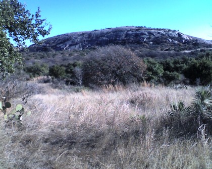
The Loop Trail takes you along
the "back" side of Enchanted Rock. The picture at left is taken from
almost due North of Enchanted Rock, so we are looking at the North face. This
side is seldom shown in brochures and pictures. But I think it is the most
impressive side. You truly get the grandeur of the formation and it's
size. Again the Loop Trail
 provides
unexpected benefits.
The rock face appears to be a sheer drop off. I know it is
not, but wow, what a view.
Especially from a guy that lives below sea level!
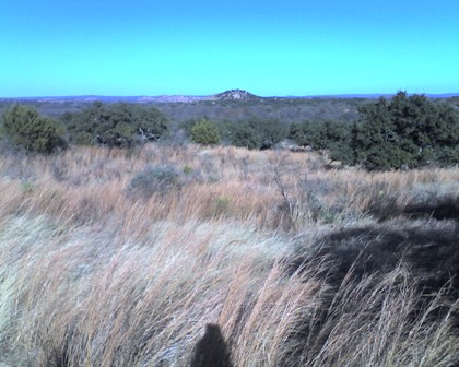
Hiking along the most northern portion of the park you can see Dutch Mountain (elev. 1,594 ft) very clearly about a mile or so away. The fields are full of scrub grass, "just a blowin' in the wind", what a treat!
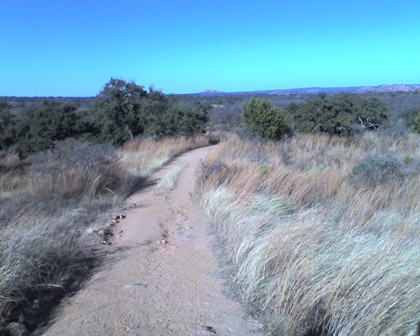
As you can see the Loop Trail is pretty easy to follow (well, DUH!!), it is the road that the park rangers use their ATVs to get around in the park. Off in the distance is Watch Mountain (elev. 1,542 ft) about 2.5 miles away. Again, the breeze was quite welcomed, it was a beautiful afternoon, not a cloud in the sky with temps in the low 60's. If this isn't heaven, then what is??
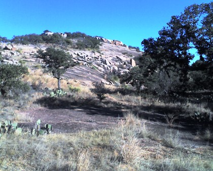
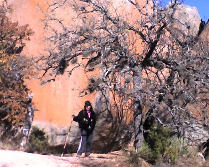
The pic at right is of the northeastern face of Freshman Mountain. It was taken just as you enter the valley between Freshman Mountain and Buzzard's Roost.
There are plenty of pear cactus stands, animal footprints, and birds a chirping! But few people! We only saw two people at the beginning of the hike (they took our picture for us) and a couple that were having a picnic about 40 feet off trail. So for solace this is a GREAT hike!

There are plenty of pear cactus stands along the trail. See above! We also saw this cactus (pic on Right), I think it is a Pencil Euphorbia, with thin spiny and angular branches.
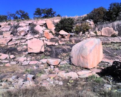 Once
you turn the corner and head south between the valley of Buzzard's Roost and
Freshman Mountain and Turkey Peak there are impressive rock formations! The
trail leads in a slow downward track towards Sandy Creek. Knowing what I
know now, I think that we would have seen more rock formations if we had taken
the Turkey Pass Trail. This trail intersects the Loop Trail just as you start to
enter the valley between Buzzard's Roost and Freshman Mountain. According
to the park map it seems to be a valley with only a 20 foot drop between the two
peaks. But the peaks are very close together, so the vistas have to be
spectacular! I guess I gotta do Enchanted Rock again, and see what I have
missed!
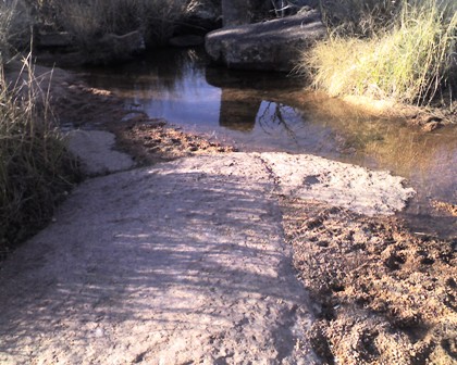
As you exit the valley you cross Sandy Creek, and it really is!
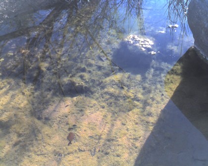
You can see that there are small minnows in the waters of Sandy Creek. That shows that the creek is always flowing (albeit slow on this day) that if it wasn't the fish would get stranded in lean rainfall times and dry up. I will bet that when it rains this creek can get quite full and moving. We found a couple of rocks to walk across. I didn't see a bridge.
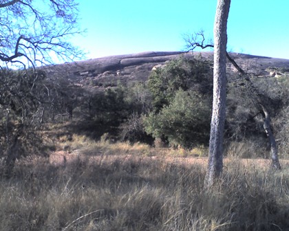
Those little bumps along the ridge of Enchanted Rock are not trees, they are PEOPLE!! That is how high up you have to climb from the Sandy Creek bed! over 425 feet elevation!
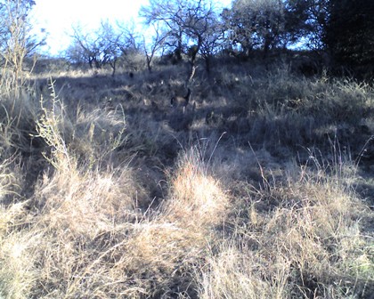
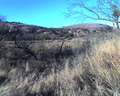
We are almost back to the eastern Trail Head looking northeast towards Enchanted Rock and on the left Little Rock. WOW, what a hike! Simply BEAUTIFUL!! My Garmin calculated that we had hiked 4.91 miles. The map says that the hike is only 4 miles. But in looking at it, it doesn't calculate the walk from the Western and Eastern Trail Heads. That has got to be about 2/3s if a mile. SO, beware, it is a little longer than published!
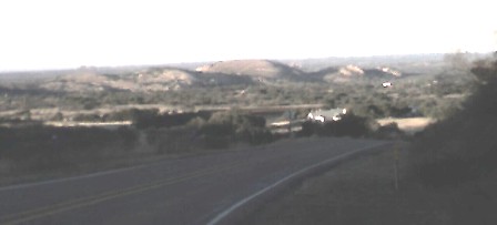
The final picture was taken late in the day from Ranch Road 965 and about 3 miles due south of Enchanted Rock. You get a good look at Little Rock, Enchanted Rock, Turkey Peak and Buzzard's Roost from this perspective. Overall a GREAT hike!
Contact us for further details....ChefEmile@CustomCatering.net
![]() to
Home Cookin' Page
or
to
Home Cookin' Page
or ![]() to Hiking Trail Log Page
to Hiking Trail Log Page![]()
Chef Emile L. Stieffel, Aurora
Catering, Inc. email address:
ChefEmile@CustomCatering.net
4016 Red Cypress Dr., Harvey, LA 70058 Phone (504) -329-1344
Copyright © 1995 - 2008 [Aurora Catering, Inc.]. All rights
reserved.
Revised: December 20, 2011.