Bayou Coquille & Kenta Canal Trails
Jean Lafitte National Historical Park and Preserve
Barataria Preserve
Chef Emile's
Bayou Coquille and Kenta Canal Trails Log
May 13, 2007
I have lived in Louisiana all of my life and my home is (as the crow flies) about 5 miles from The Barataria Preserve of Jean Lafitte National Park. I have been to the Visitor Center several times, and my daughter did her "Speed of Sound" science project along the boundary line of the park. But I had never hiked one of the park's trails, this is SPECIAL!!!
 Also,
one of my first ancestors to arrive in Louisiana was Juan Raimoundo Garcia.
My GGGG Grand Father and his family were Canary Islanders and arrived in New
Orleans on the ship the "Santa Fas" in 1778! Please feel free to check out his
story. They were assigned lands in Barataria!!! SOOOOO, here I am retracing my
family roots!
Bayou Coquille is French for the clam shells that were harvested by the local
Indians and deposited to make an Indian mound along side the bayou's banks.
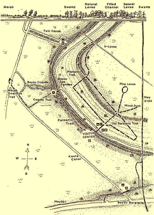 I
have marked up the
official map
of the trails and added some notes! Also this is a jpg of the location.
The below are Trailpoints calculated by my Garmin GPSMAP 76CSx.
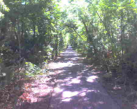
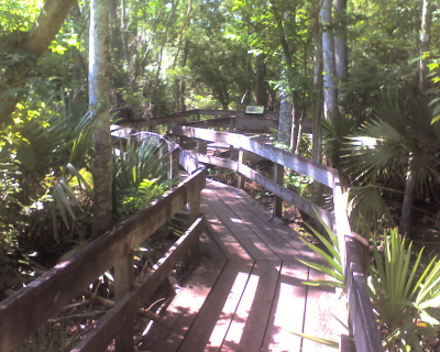
The trail is either asphalt walkway or wooden decking. The
decking is built up over marshy sections of the swamp. So it is wheelchair and
kid stroller accessible. Also, the decking gives the hiker an overview of the
waters.
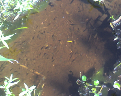 Most
people think that swamp water is muddy and very murky. Well that is
because it is usually disturbed by walking through it. In reality, the mud
settles down and the water clears. Look at the dozens of minnows you can see!!!!
I took the trail at about 3:45pm, Mother's Day of 2007 the ambient temperature was in the mid 80's. But because of the overhead canopy of trees I was never uncomfortable. It reminded me of my Thousand Palms Oasis Trail in the Palm Springs Desert. Once you are out of the sun, and under a tree canopy, it is quite cool and comfortable. BUT, take water, you will get thirsty!
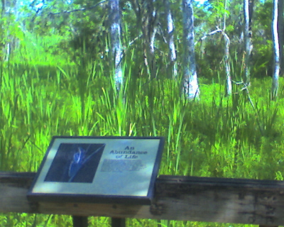 The
Bayou Coquille Trail leads on heading of South West for almost a half mile.
There are at least 6 locations that the decking juts 30 - 60 feet out into the
swamp. These have informational plaques that describe the Native Indians,
wildlife, palmetto stands, water foul and general topography. Very
Instructional!!! There are even several wooden benches for resting!! The one to
the right describes, the beautiful water iris stand. I bet they are beautiful
when in bloom!
The
Bayou Coquille Trail leads on heading of South West for almost a half mile.
There are at least 6 locations that the decking juts 30 - 60 feet out into the
swamp. These have informational plaques that describe the Native Indians,
wildlife, palmetto stands, water foul and general topography. Very
Instructional!!! There are even several wooden benches for resting!! The one to
the right describes, the beautiful water iris stand. I bet they are beautiful
when in bloom!
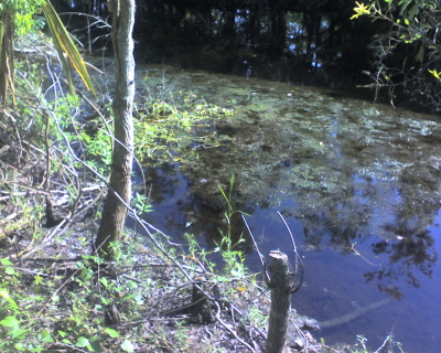 The
swamp is ALIVE with animals, fish, insects, reptiles and all sorts of creatures.
You are never alone with all of the birds chipping, frogs croaking and trees
rustling in the breeze. On all of my other hikes, we were always on the
lookout for wild life. On this trail, you need to be on the lookout!!! I saw
maybe 20 gators (some just 6 feet away), a water moccasin, numerous spiders, and
turtles. Everywhere you look there is life! Check out the little gator in
the lower right corner of the pic!
Page Deaux, the Kenta Canal Trail Log.
Contact us for further details....ChefEmile@CustomCatering.net
![]() to
Home Cookin' Page
OR
to
Home Cookin' Page
OR
![]() to Hiking Trail Log Page
to Hiking Trail Log Page![]()
Chef Emile L. Stieffel, Aurora Catering, Inc.
email address:
ChefEmile@CustomCatering.net
4016 Red Cypress Dr., Harvey, LA 70058 Phone (504) -329-1344
Copyright © 1995 - 2008 [Aurora Catering, Inc.]. All
rights reserved.
Revised: November 25, 2016.